26th to 27th July 2024
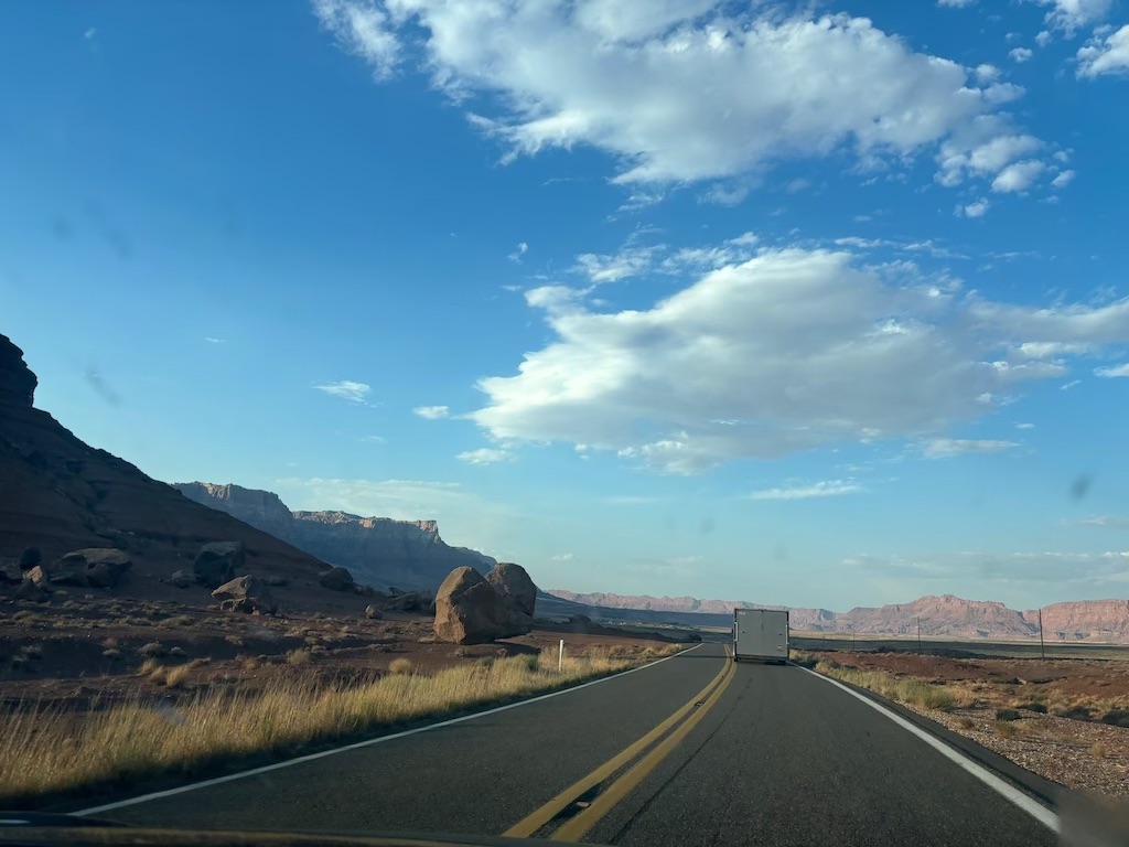
We arrived back at the car in the early afternoon and got straight on the road. Expecting this drive section to be more than a 6 hour job that needed to be done we had our expectations low for the journey. Our route followed highway 89 from St. George. down through Page and Flagstaff and finishing in Grand Canyon Junction. Believe it or not, we drove around the Grand Canyon. I knew we'd be there after dark, but I didn't predict the beauty we'd see along the way.
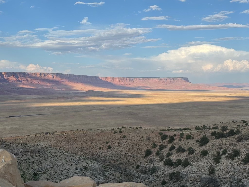
The southern Utah-Arizona drive along highway 89 is stunning. Large expansive areas bounded by red rock cliffs surround the single road that weaves across. As a child of Pixar I can say it is very reminiscent of the first Cars film and Lightnings experience of isolation was felt by the both of us. For every hour of driving we saw only large trucks and a few cars.
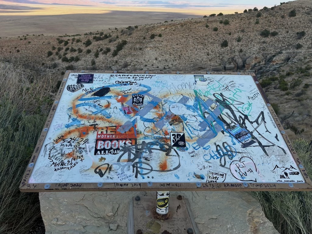
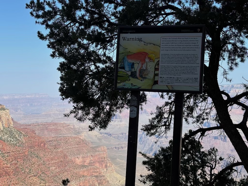
Below is a photo of the sign that once gave information on the view above. Being in such a remote location I am not surprised the entire thing was defaced. I find it fun to read what people write on things like this. An awful lot of it was Trump related which makes sense with the election coming a few months from when this was taken.
Be warned some comments in the image below are explicit or inaccurate. A good rule for life: never take seriously scrawlings on an old sign.
Part of the drive went through Navajoland, an Indian reservation of the Navajo people. In 1864 the Navajo (or Diné in their tongue, meaning '(the) people') were forcibly relocated to an internment camp in an event now known as the Long Walk. At least 200 died walking to Bosque Redondo and 3000 in the camp due to starvation, disease and exhaustion. In 1868 they were permitted return to their traditional boundaries, where the photo below was taken. What the Americans (and in part the British) did to the Native Americans was truly terrible; to try to capture it in a blog article would be impossible. For those interested I would first learn about the Trail of Tears, one of the greatest losses of life from European colonisation of North America.
By the time we got to Grand Canyon Junction it was completely dark. A thunderstorm had passed over the Grand Canyon which we watched in the distance, but fortunately it did not cross paths with our drive.
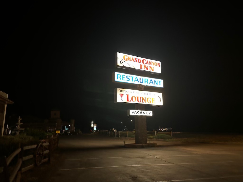
Grand Canyon Junction is a small collection of hotels, restaurants and attractions. It seems to serve exactly what it's name suggests - as a place to rest before heading to the Grand Canyon. Perfect for our needs.
The next day we did our best to be up early to climb down into the Grand Canyon. After a coffee and short shuttle bus ride we began walking down into the iconic canyon via the South Kaibab trail.
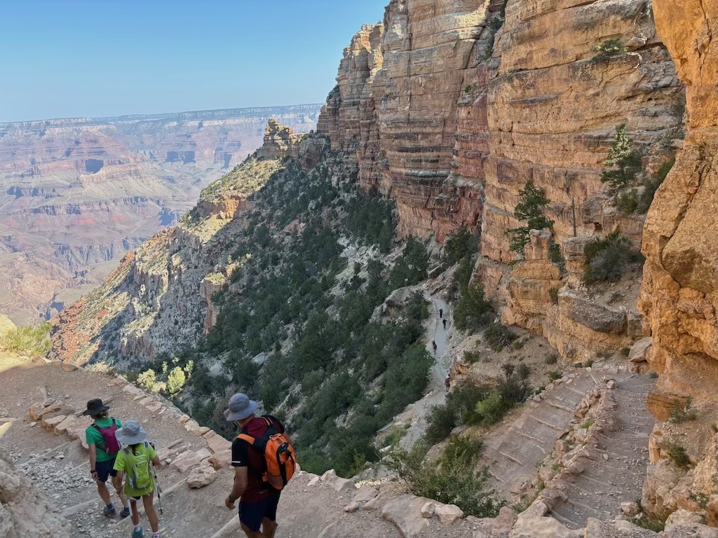
A clear cut set of stairs took us further down in the slightly cooler shade of the canyon rim. The trail had other hikers on it but only a few. A gruesome sign with a man being sick warned us of the risk of descending all the way to the Colorado river, some 1500 meters beneath us. We discussed with the park rangers at the visitors center a hike to Skeleton point (a halfway point down into the canyon) a good middle ground between dangerous and challenging.
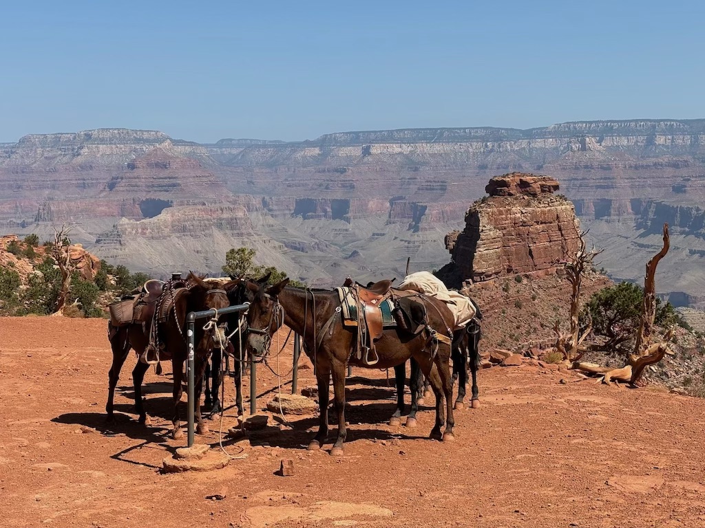
We stopped for water and a small snack at Cedar Ridge where we ran into a small barren of mules. A man dressed in most of the attire appropriate for a cowboy watered his herd before sitting under a nearby tree for a rest.
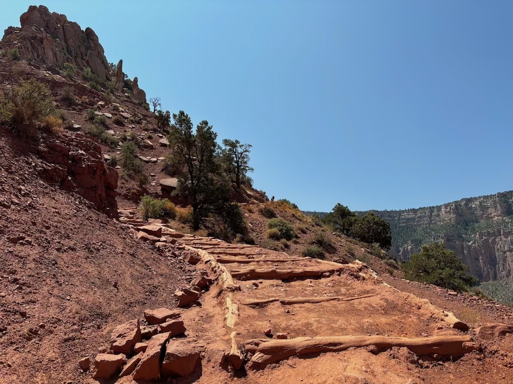
This was a sign of what was to come - we were entering the mid-morning when it is above 30 degrees celsius and far too hot for hiking. A ranger at this station told us it would be best to turn around and head back now before it gets too hot; definitely not to continue all the way to skeleton point. Seeing a family of 3 walk further on we decided to go a little further - about 10 minutes more - down the trail before heading back up to the ridge. The image below shows where we decided to stop.
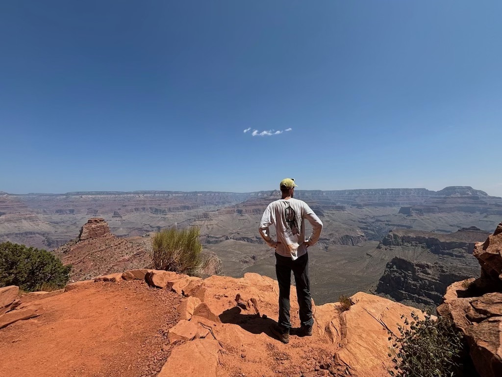
On the left hand side you can see Skeleton Point (the raised point about half a kilometer away). We took some photos and enjoyed the incredible view. One silver lining of the desert climate is how good the visibility is. You can clearly see right across the canyon and very almost the colorado river, tucked away within a final smaller canyon.
Now we just need to climb back up.
It was tough. I can see why the rangers are stationed on the trails to turn 'later in the day' walkers around. Of course if you spend all morning descending, your return trip to the rim is entirely climbing. A nice hiker heading down offered us water as we passed; having packed enough we politely refused, fortunate not to need it. Throughout the day the temperature continues to climb and by the time we were at the summit my watch thermometer had passed 35 degrees celsius.
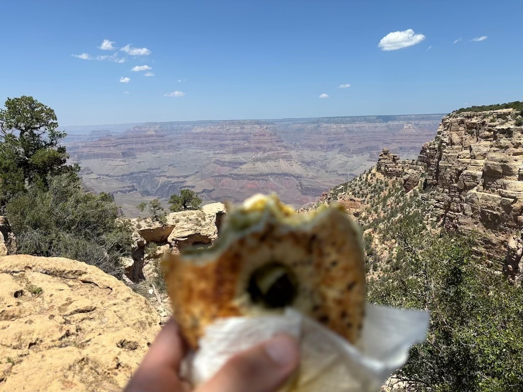
At the trail head we enjoyed bagels my girlfriend made that morning. Delicious and needed after the effortful morning.
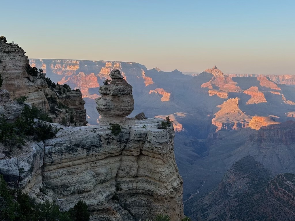
After a long break in our hotel to both rest and skip the heat of the day we returned to the national park to do the desert view drive. One of my favourite sites was the Duck on a Rock, pictured below in the beautiful evening light. It is really one of those things you can't un-see once you've seen it.
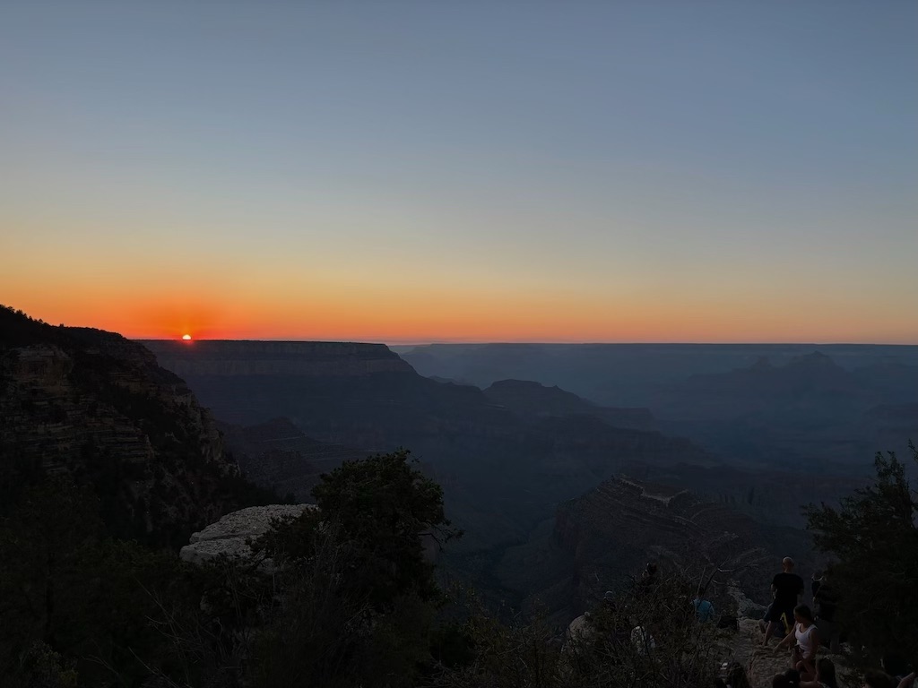
We continued to Grandview point to watch the sunset. What used to be a hotel for visitors some 100 or so years ago, it is now a small car park with a small amount of space to sit and enjoy the view. I did my best to capture the moment the sun disappeared behind the horizon below.
After a short stop at the visitors center we headed back to our cabin to sleep. Star gazers were out waiting for certain celestial bodies to pass over. We would have waited to see them if we weren't so tired. The next day we drove West to bordering state Nevada's iconic city.
Click the following link to read about our time in Las Vegas. Otherwise return home.