30th July to 1st August
Hello again readers! You join me in the beautiful state of California! After declaring we had no fruit or vegetables to the lone border force worker we entered the state, noticing how fast the scenery of Nevada's deserts made way for California's Mojave vegetation. Driving from Las Vegas to Yosemite takes you past Mono Lake, a stunning viewpoint as you enter the state. Today visibility was clear treating us to the view of the Sierra Nevada Mountains behind the lake.

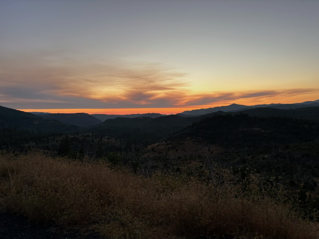
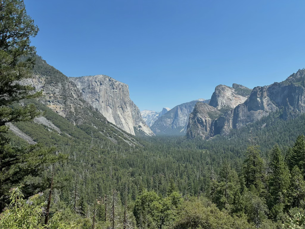
Following highway 120 the scenery only improved; entering the mountains elevated our view of the area and in the evening light looked serene. We pulled over to take in the view shown below.
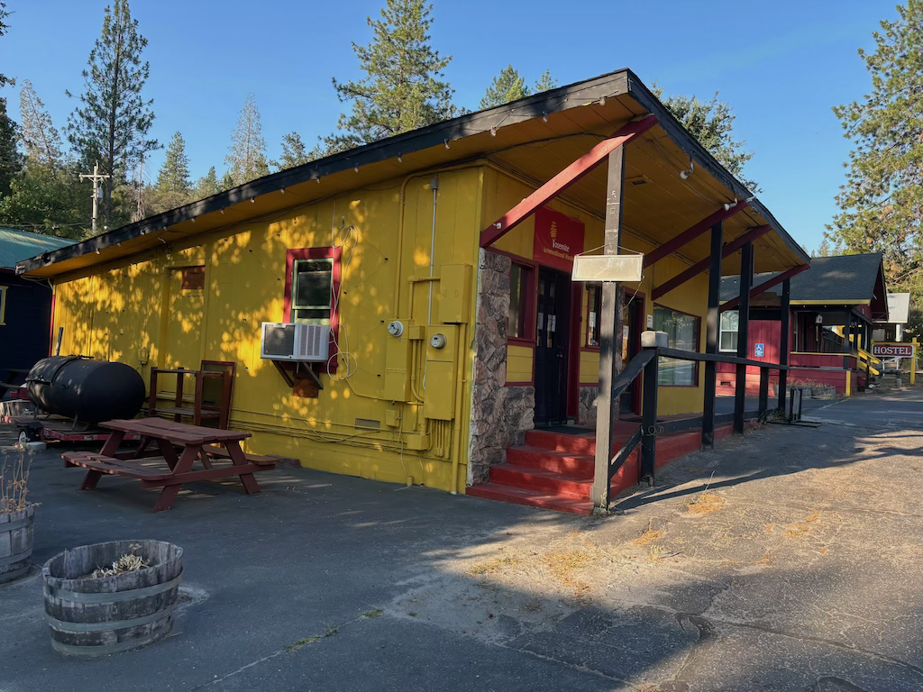
Quirky but convenient is how I'd review the hostel we stayed at. This was the office entrance, with the bunks in the building further down the road. Decking out back meant we could eat our dinner in the sunshine every evening. Although the rooms were cramped and a bit expensive we couldn't complain; it's the cheapest accommodation within 15 minutes of a National Park entrance. Plus I liked how colourful all the buildings were.
Research suggested that this would be the best hike for us. As one of the most popular day hikes, the parking at the base in the morning can fill up fast. After being fortunate in finding a space we started the climb.
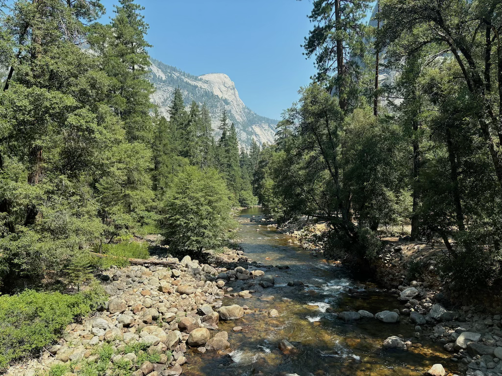
The walk follows the Merced River past both Vernal Falls and Nevada falls.
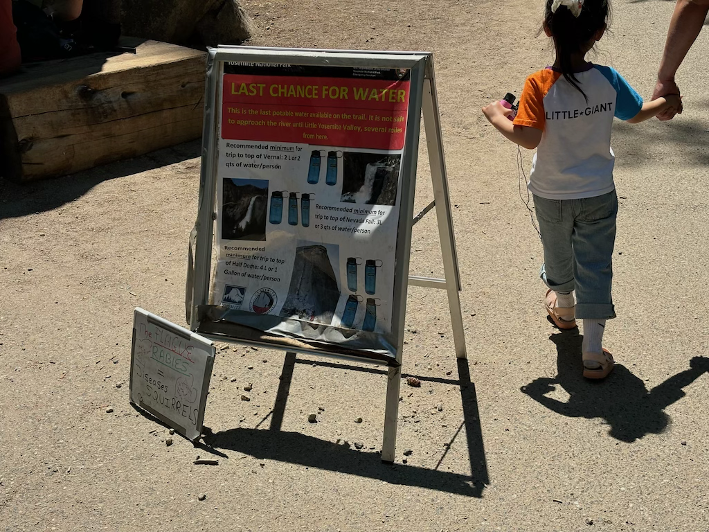
At the footbridge was a water station and this sign, warning hikers of the need for 3 litres of water per person to hike to Nevada Falls. I understand that it's important to not run out of water, but 3 litres seems excessive for what was a 16km hike taking us ~4 hours. What about if you're 4, do you have to drink 3 litres then? We completed the whole thing only drinking 2, and we were struggling to drink that much!
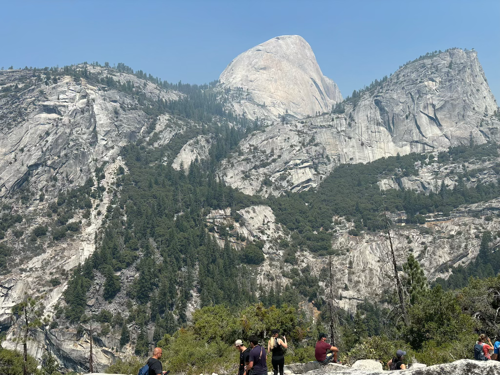
This is where we stopped for lunch, overlooking the river valley and half dome. An incredible spot for bagels.
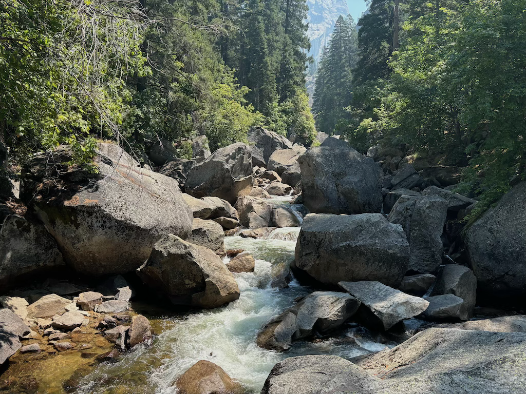
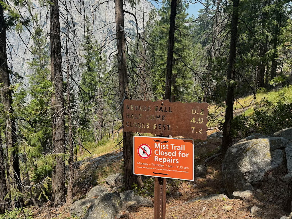
Sadly the mist trail was closed due to damages to the path. Instead we took the wider route further from the river; the John Muir trail. Despite being further from the water, there were still plenty of great views of the river itself.
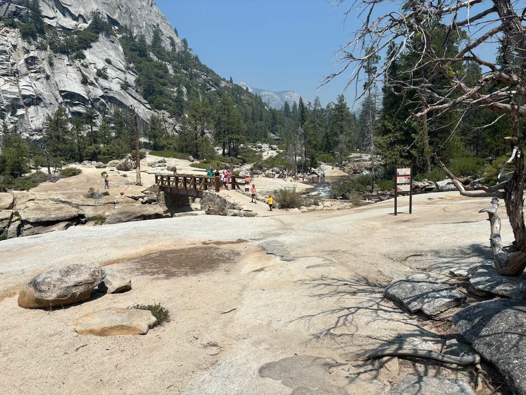
At the top where Nevada Falls begins there's a footbridge and some shallow banks alongside the river. Shamelessly I admit we dunked our heads to cool off. Incredibly refreshing.
We spent a while up here enjoying the view and the sound of the falls before heading down.
The visitors center in the valley was lovely. The building was modern with large glass windows and a sloping roof. As with almost all properties in the USA a proud flag flew out front.
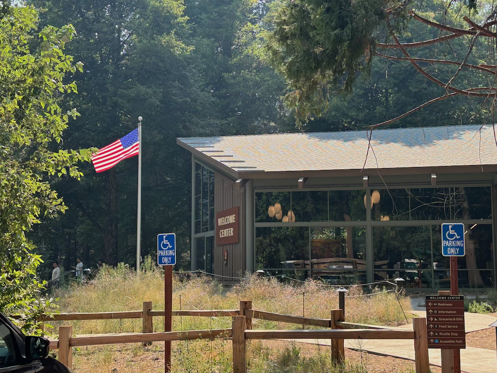
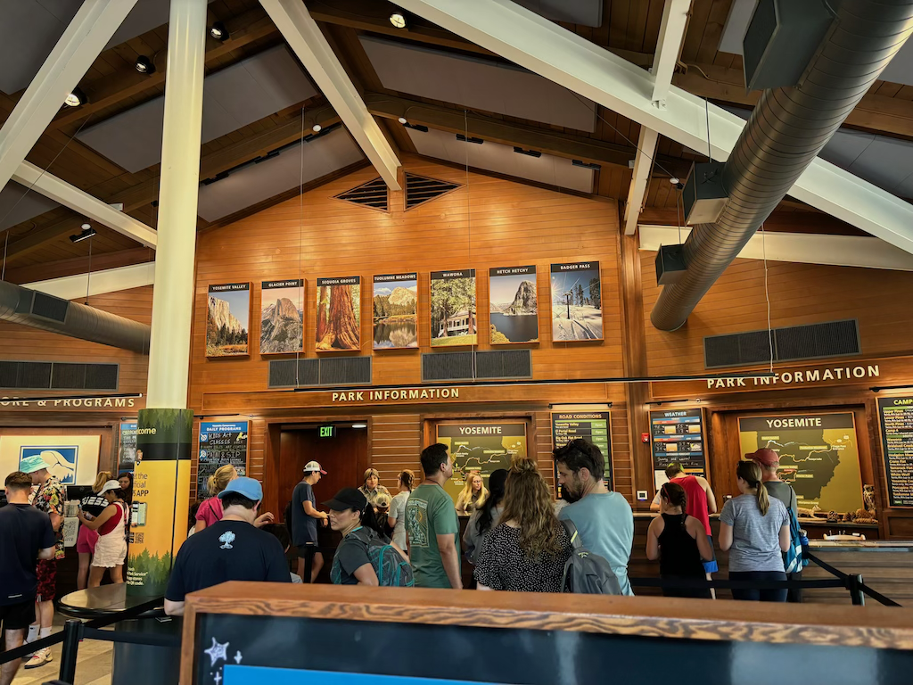
Inside was an information desk, labelled pictures of the best views in the park, a small gift shop, maps and other interactive exhibits. Huge air conditioners kept the whole space cool, very much needed in these summer months.
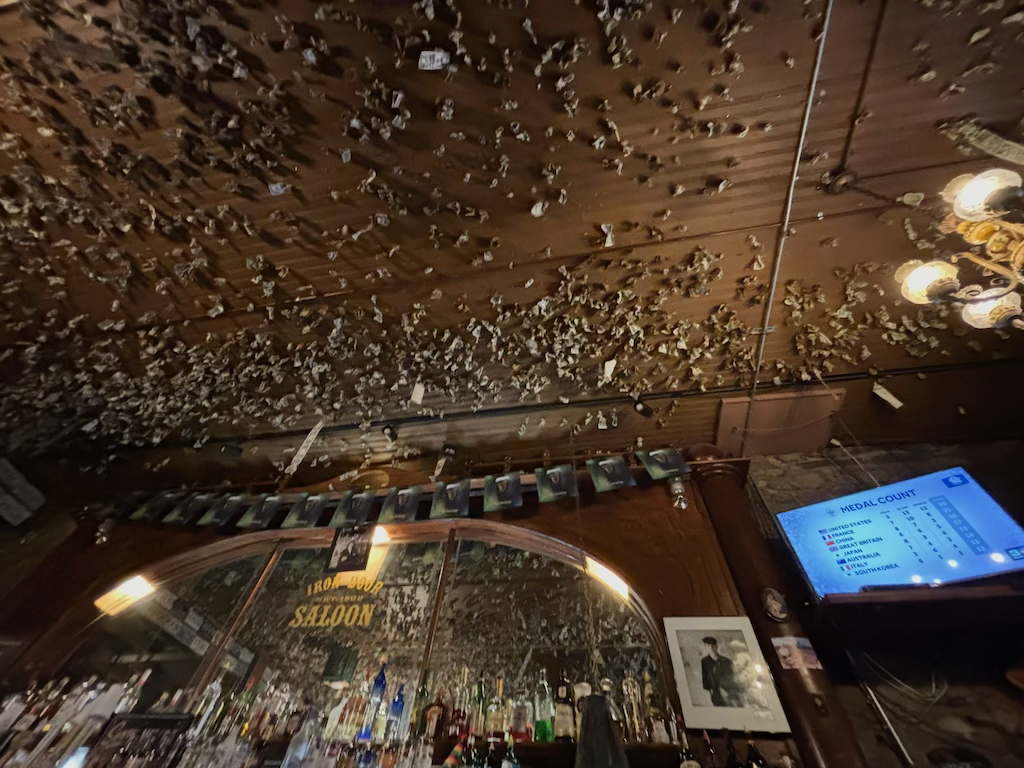
We headed back to the hostel, ate and went out to the only bar in Groveland; the Iron Door Saloon. It had a nice laid back atmosphere and a weird looking collection of dollar bills on the ceiling. I think people had wrapped their note in something metallic and thrown it up there, with the note wrapped around it in a ball shape. Certainly unusual.
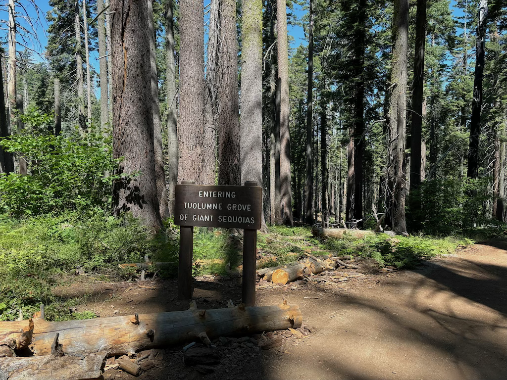
On our second and final day in the park we visited Tuolumne grove, a small walk between 12 or so Giant Sequoia trees. Not knowing where all the Sequoias grow along the Sierra Nevada mountains I was glad there were a few to see within Yosemite. Just South of the park is Sequoia National Park which I worried would be the only place to see them after the deforestation of the 20th century.
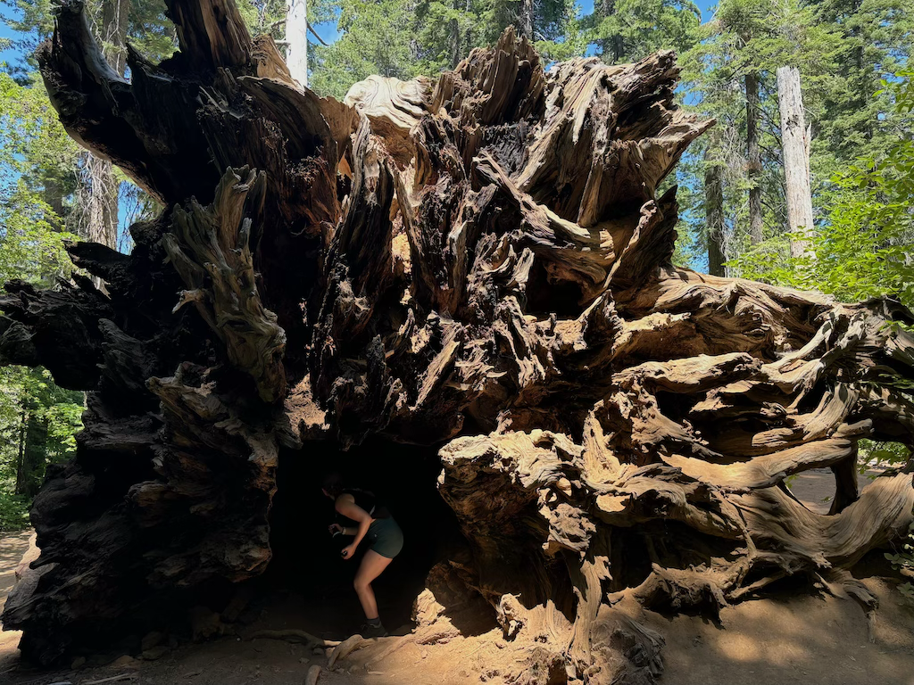
One had fallen and been left to lay on the forest floor, with enough space to stand inside. Their roots were as big as a shop front.
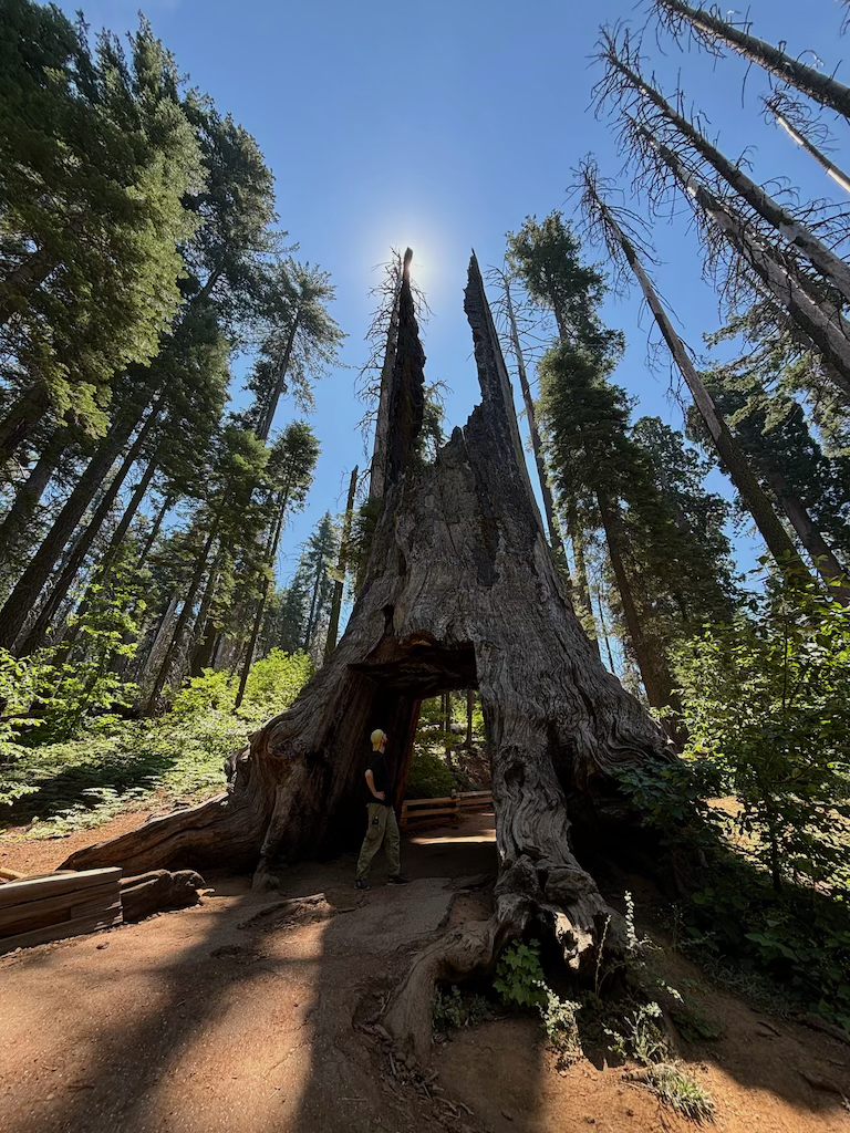
Along the trail we found Wawona Tunnel Tree - a Giant Sequoia that had been cut in 1881 as a tourist attraction. It's wide enough to fit a car through.
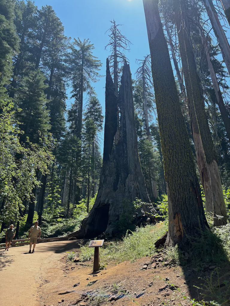
Like the tourists of last century, we stood and took a photo with this (now) dead beast of a tree.
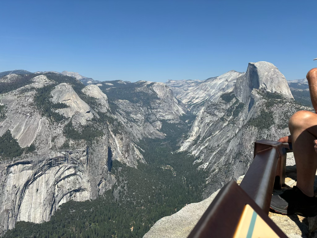
The final thing to visit was Glacier point, a vantage point where half dome valley can clearly be seen! Sadly at this very moment my girlfriend discovered her phone camera had broken earlier this day. Now filled with sun cream it permanently had a yellow fog applied to all 1x photos.
This park is stunning and I'd highly recommend people visit it. The walks aren't too difficult and don't need booking (other than half dome I think) and in the summer months the weather is great. I hope to come back one day to this beautifully carved valley.
Next we continue West to the coast - The Bay area awaits! Otherwise return home